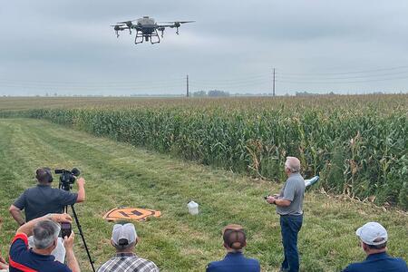
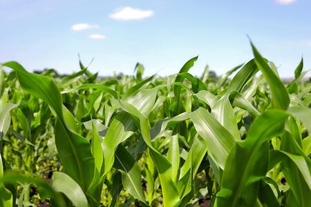
Explore key benefits, challenges of using agricultural drones at Illinois Extension field day
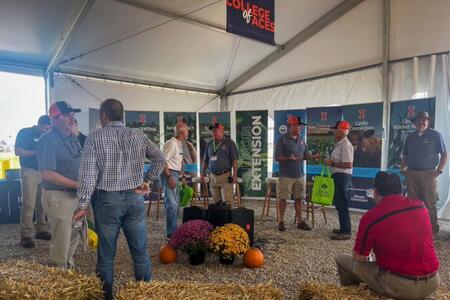
URBANA, Ill. — Technology continues to advance and modernize today’s farming practices. Drone use in farming has gained steady traction and interest, particularly in the application of agricultural inputs such as pesticides, herbicides, and fertilizers.Attendees can learn more at a field-...
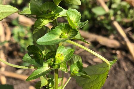
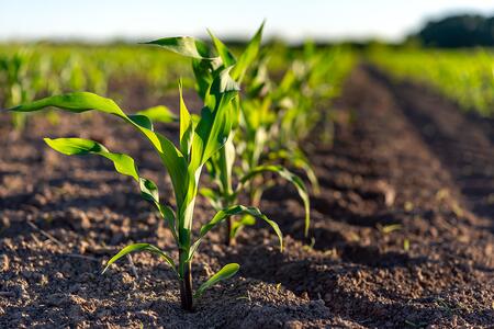
Novel Illinois weed species, Asian copperleaf, identified in northern Illinois
URBANA, Ill. — Corn and soybean farmers should be scouting for a new weed this upcoming growing season. According to University of Illinois crop experts, Asian copperleaf (Acalypha australis) was identified in a field in Stephenson County in...
Against the Grain: Dr. Salah Issa on Innovating Ag Safety
URBANA, Ill. — Dr. Salah Issa’s career in agricultural safety began in an unexpected way. Starting out at a graduate program in Ecological Sciences and Engineering at Purdue University as a self-described “city kid”, he was unaware that agricultural engineering was even a career option. It wasn’...
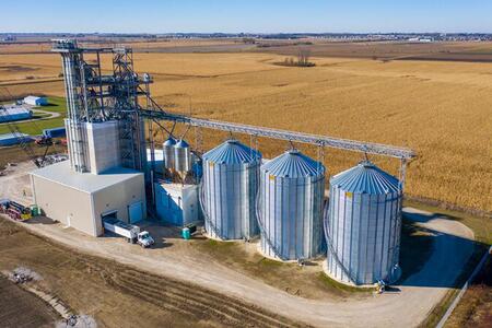
See safety in action at Stand Up 4 Grain Safety Week Kickoff event in Urbana
URBANA, Ill. — What began as an idea from agricultural industry groups to help ensure safety in the workplace has now become a nationwide movement. Stand Up 4 Grain Safety Week takes place March 30 through April 6, and the 2026 Illinois kickoff...
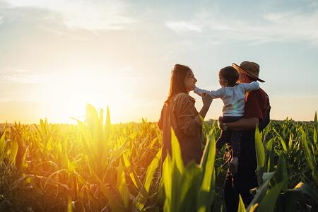
Illinois Extension offers support for farmers experiencing economic stress
URBANA, Ill. — As farmers across the state face mounting economic pressures, University of Illinois Extension reminds agricultural producers, advisers, and families that free help is available wherever you are.Assistance resources range...
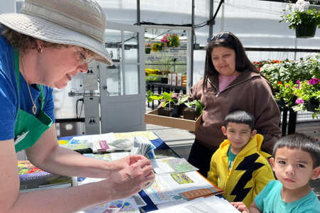
Dig into spring gardening with confidence at local gardening programs
URBANA, Ill. — Gardening is an ever-evolving journey, and each growing season brings fresh experiences and strategies for both new and veteran gardeners. This spring, learn more gardening techniques and grow...
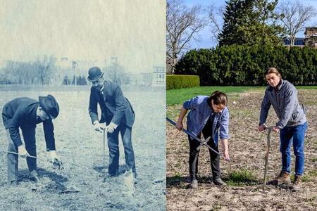
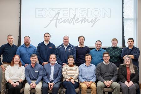
Illinois Extension Academy cohort poised to cultivate collaboration and impact
URBANA, Ill. — Collaboration and shared expertise strengthen any project, especially when they help deliver the University of Illinois Urbana-Champaign’s latest research and best practices to communities across Illinois and beyond.With the start of the...
Illinois Extension’s strategic plan shows significant progress in year one
URBANA, Ill. — University of Illinois Extension is driving statewide impact through its comprehensive 10-year strategic plan, focused on the key priorities of environment, food and agriculture, health, community, economy, technology and discovery,...
Illinois Extension offers legal series to empower farmers to strengthen, safeguard operations
URBANA, Ill. — In times of uncertainty, protecting your livelihood and assets is essential. Each farm and farm family has a unique experience and specific needs, but the success of Illinois farmers is vital for everyone in our state.“With the converging crises of the COVID-19 pandemic,...
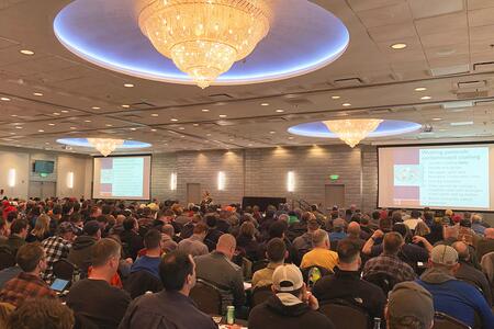
Illinois Extension Agronomy Summits equip farmers with strategies for year ahead
URBANA, Ill. — With harvest season behind us and spring planting on the horizon, now is the time to prepare for the year ahead. University of Illinois Extension invites farmers, agronomists, and agriculture professionals to attend one of the...