People always are asking how much rain or snow you got at your location. If you like keeping track of precipitation, why not make it part of a vital information resource? The following information comes from the National Weather Service.
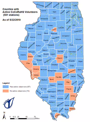
The Community Collaborative Rain, Hail and Snow (CoCoRaHS) project is a unique, non-profit, community-based network of volunteers of all ages and backgrounds working together to measure and map precipitation (rain, hail and snow). You can help fill gaps in the rainfall data by becoming a volunteer and taking measurements of precipitation from your location.
The goal of the program is to have one observer per square mile in urban/suburban areas and one observer every 36 square miles in rural areas. Everyone can help, young, old, and in-between. The only requirements are an enthusiasm for watching and reporting weather conditions and a desire to learn more about how weather can effect and impact our lives.
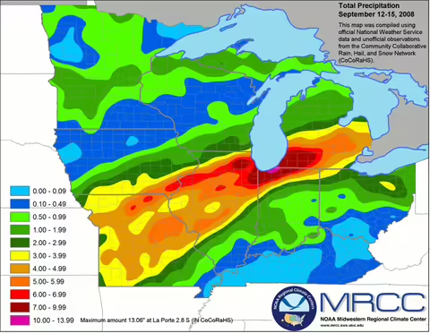
The program helps meteorologists, hydrologists, and researchers study the variability of precipitation and the accumulated data will be available to anyone with a use or interest in precipitation data. The data collected by CoCoRaHS also supports the weather forecasting and warning responsibilities of the NWS.
Once trained, volunteers collect data using low cost measuring tools, such as a 4-inch diameter high capacity rain gauge, snow boards to measure snow, and aluminum foil-wrapped Styrofoam hail pads, in some states.
Providing accurate information is vital
As the case with all types of data collection, accuracy and consistency are the keys to ensure the observations are meaningful. With that, there are certain types of rain gauges that should be used. The most common, called a 4" rain gauge, makes reading accurate rainfall amounts easy. The funnel collects up to one inch in the rain in the measuring tube with amounts greater than one inch spilling into the overflow tube.
CoCoRaHS provides instruction on how and where to set up your equipment, as well as how to read and report your observations. You will also be able to see a map of CoCoRaHS observations for your region in "real time."
Free training sessions are held around the state at various times of the year. Attending one of these personalized sessions is highly recommended. However, there are also training materials available online. For more information on training options check out the Illinois CoCoRaHS page.
If you like keeping track of rain and snow events, and would like to share your recordings, please consider becoming a CoCaRHS volunteer! Impress your friends and neighbors with your ability to tell them exactly how much rain, snow or hail you got.
Never miss a new post! Sign up for our email list.
MEET THE AUTHOR
Duane Friend is an energy and environmental stewardship educator with University of Illinois Extension, serving the organization in many roles since 1993. Duane provides information and educational programs to adult and youth audiences in the areas of soil quality, weather and climate, energy conservation, and disaster preparedness. These programs provide practical solutions for families, farms, and communities. He assists families in creating a household emergency plan, farmers with the implementation of soil management and conservation practices, and local government officials and business owners with energy conservation techniques.
ABOUT THE BLOG
All About Weather is a blog that explores the environment, climate, and weather topics for Illinois. Get in-depth information about things your weather app doesn't cover from summer droughts to shifting weather patterns.