This month's weather information from Trent Ford, Illinois State Climatologist, 217-244-1330, twford@illinois.edu.
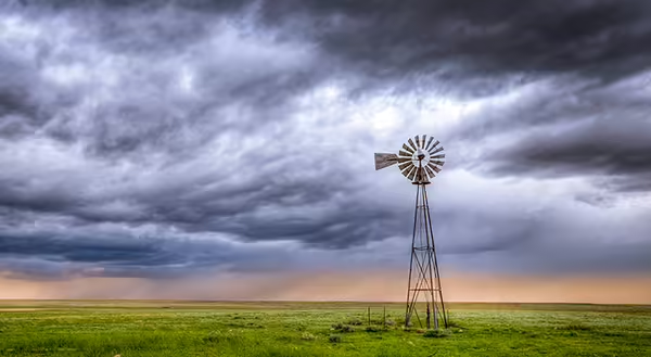
A mild May wrapped up the 4th warmest spring on record in Illinois and the warmest since 2012. The warm spring added to a very mild winter and advanced phenology weeks ahead of average across the state. May average temperatures ranged from the high 50s in northern Illinois to the low 70s in southern Illinois, between 2 and 4 degrees above normal (Figure 1). Several stations saw their first 90-degree temperatures in May, including 91 degrees in Monmouth and at Chicago’s Midway Airport. Meanwhile, the state was largely spared a late spring freeze in May, with only a handful of stations experiencing temperatures below 40 degrees.
Meanwhile, temperatures in the first half of June were closer to normal in much of southern and eastern Illinois, and 1-2 degrees above normal in northern and western Illinois (Figure 1). The milder start to climatological summer helped continue good growing conditions across Illinois and, combined with some drier weather, helped make more fieldwork opportunities.
Following a very wet period between March and mid-May, precipitation slowed down for most of Illinois in the last half of May and first half of June. Total precipitation between mid-May and mid-June ranged from less than 3 inches in parts of western Illinois to over 8 inches in far southern Illinois (Figure 2). Only the southern sliver of the state has been wetter than normal since May. The drier weather permitted more windows for fieldwork, but also dried up topsoil moisture in parts of western and north-central Illinois. Once the heat kicked on in mid-June, soils dried more quickly, spurring abnormal dryness in the latest US Drought Monitor. While deeper layer soil moisture remains abundant in most places, the heat expected in the last two weeks of June could increase our risk of rapid onset or flash drought in our driest spots.
Unfortunately, May and June continued our very active severe weather year. Unfortunately, not all March and April precipitation has been rain. May and the first half of June featured 28 tornado reports, including an EF-3 in Jackson County, 221 severe wind reports, and 59 severe hail reports in Illinois. All forms of severe weather have been more active than normal by this time in the year, including nearly 1.5 times the number of average severe hail reports by mid-June.
Looking ahead, the heat is on across the Midwest. High temperatures are expected to be in the upper 80s to mid-90s for several consecutive days, with nighttime low temperatures only reaching the low to mid-70s. The heat will likely stress young crops, especially in areas that have been drier since the beginning of May. While the extreme heat is expected to subside in the last week of June, above normal temperatures are expected each of the following three weeks across Illinois. So, while we may get some reprieve from the heat, a hot first half of summer is still likely. Meanwhile, near to above normal precipitation is expected across the state in the last week of June and first half of July, hopefully providing some relief from rapidly intensifying dryness in parts of the state.
 May and (right) the first half of June in Illinois.")
 total precipitation and (right) departures from normal over the past 30 days.")