Tornadoes can form in a few minutes and dissipate just as quickly. However, the conditions that may create a tornado and other severe weather can be seen hours in advance, giving forecasters and the public the chance to be vigilant.
Tornado Watch vs. Warning
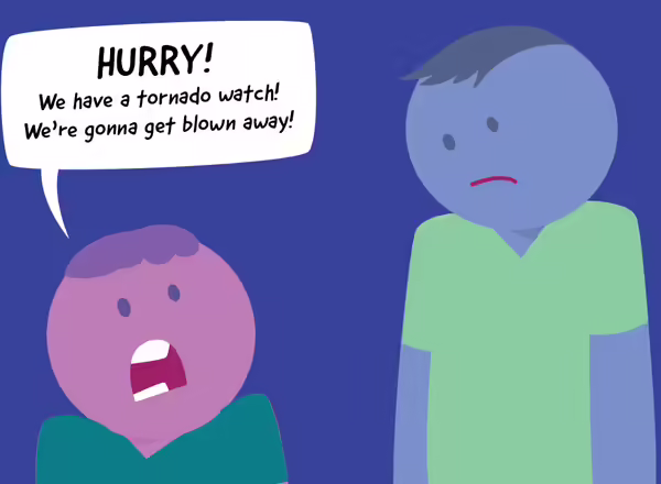
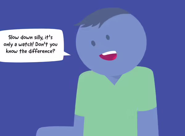
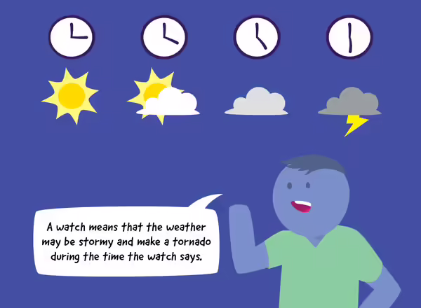
- Watch: Conditions are right for a future severe thunderstorm or tornado. Watches are issued hours in advance because the tornado could form at any time during the watch.
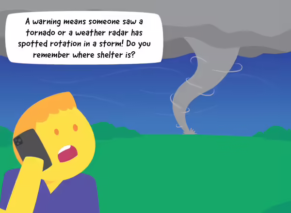
- Warning: A severe thunderstorm or tornado has been sighted in person or by radar. Seek shelter.
Who issues watches and warnings?
Tornadoes need a few basic weather conditions to develop: warm, moist air, the ability for that air to rise thousands of feet in the atmosphere, and winds moving at different speeds or directions with height.
A Severe Weather Watch
A watch is based on many observations of the atmosphere over multiple states, but only issued for affected counties in a particular state or states. The National Oceanic Atmospheric Administration and the National Weather Service Severe Storm Prediction Center will issue a Severe Thunderstorm or Tornado Watch several hours ahead of when favorable conditions occur.
During the watch period, storm observers are activated to observe changing weather conditions.
A Severe Weather Warning
While watches can be issued hours in advance, warnings have much less time. The average lead time from a tornado warning being issued to when it may strike is 13 minutes.
A warning is issued under two conditions:
- A weather observer reports sighting a severe storm or tornado. Storm observers are trained to look for specific elements with tornadoes, such as cloud rotation. Sometimes the eye and brain can be deceived by what is seen.
- Weather radar indicates a severe storm or tornado is likely happening. Weather radar operators are looking for rotation in a small part of the storm, called a hook echo. Since the radar can show wind direction within a storm, if the air is seen moving in one direction next to air moving in the opposite direction, a tornado may be forming or is already on the ground.
Don't wait to see a storm with your own eyes
Research shows that many people don’t take heed when a warning is used; instead, they wait until they can see a severe storm or tornado with their own eyes. Because of this type of research, the National Weather Service revised its advice, especially for large, very dangerous tornadoes and severe storms.
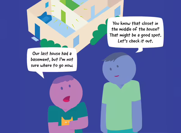
- Don’t try to see the tornado; don’t think it’s safe to wait until the last minute.
- Have a safe place in mind and useable as part of your home severe weather plan, and go there.
- Use a weather app for your smartphone with automatic alerts.
- Keep you, your family, and your pets safe.
Find more information on preparing for severe weather on the Illinois Extension Disaster Preparedness website.
Research on tornado and storm prediction
Data from observed storms have been used to simulate tornadoes by computer, such as with the Blue Waters supercomputer at University of Illinois. The tricky part is that it’s hard to have that much information in advance, and conditions are constantly changing.
Getting measurements of winds, moisture, and other weather variables for thousands of feet of atmosphere cannot be done over large areas in real-time, yet. And the amount of data that would create requires a supercomputer to chug through it.
Even when all the right conditions are present for tornado development, a tornado might not form. There may also be multiple mechanisms for tornado development. What causes a small tornado associated with a bowed thunderstorm complex may not be the same as what causes a large tornado associated with a supercell storm.
All that being said, the research is progressing, and there may be a time in the not-too-distant future when the lead time for issuing a warning can be significantly increased.
References
- Severe Storm Prediction Center, www.spc.noaa.gov
- Computer simulation of a tornado using UIUC Blue Waters supercomputer, news.wisc.edu/a-scientist-and-a-supercomputer-re-create-a-tornado
- Risk Communication and Behavior (NOAA), www.performance.noaa.gov/wp-content/uploads/Risk-Communication-and-Behavior-Best-Practices-and-Research-Findings-July-2016.pdf
- National Weather Service terminology for severe weather, en.wikipedia.org/wiki/Severe_weather_terminology_(United_States)
- Severe Weather Everyday Environment webinar
Never miss a new post! Sign up for our email list.
MEET THE AUTHOR
Duane Friend is an energy and environmental stewardship educator with University of Illinois Extension, serving the organization in many roles since 1993. Duane provides information and educational programs to adult and youth audiences in the areas of soil quality, weather and climate, energy conservation, and disaster preparedness. These programs provide practical solutions for families, farms, and communities. He assists families in creating a household emergency plan, farmers with the implementation of soil management and conservation practices, and local government officials and business owners with energy conservation techniques.
ABOUT THE BLOG
All About Weather is a blog that explores the environment, climate, and weather topics for Illinois. Get in-depth information about things your weather app doesn't cover from summer droughts to shifting weather patterns.