Pesticides are essential for commercial growers to control weeds, insects, and disease, and are an integral part of an integrated weed management (IWM) regimen. However, the use of these chemicals can cause issues when they end up outside of the target area. Pesticide particle or vapor drift is one of the main issues seen by growers, homeowners, and beekeepers.
Pesticide spray drift is when pesticides move through the air from an application area to any unintended site. Drift can happen during or after application. Pesticides can drift off-site for a few reasons, the biggest being weather conditions and the type of application equipment used. Wind speed and direction, inversions, and high temperature/low humidity conditions can all cause pesticide drift. Using the incorrect nozzle or spraying at the wrong height can also cause pesticide drift. The EPA estimates that up to 70 million pounds of pesticides are lost to drift each year. Pesticide drift can pose health risks to humans, pets, wildlife, plants, and streams. It can also result in economic losses from injury to certain crops and can make organic crops unsellable. The risk of drift is minimized when applicators follow the correct instructions for the product they are spraying.
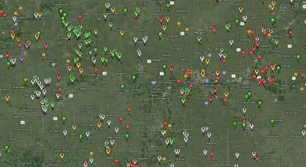
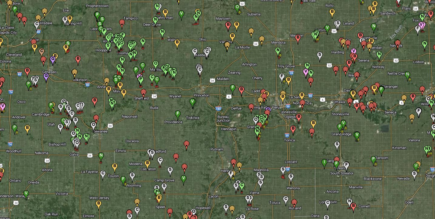
The free online mapping tools available on FieldWatch.com help reduce the impact of unintended drift on pollinators, non-target plants, and people by connecting growers and beekeepers with applicators. Growers and beekeepers can map the locations of their hives, fields, and the crops they grow. Pesticide applicators can then view the online maps to make better-informed decisions about where and how they’re spraying. The FieldWatch website offers online mapping tools for producers (DriftWatch), beekeepers (BeeCheck), and applicators (FieldCheck). The map below shows what the DriftWatch map looks like for our counties. The points on the map indicate beehives, fields in organic production, and where different specialty crops are grown.
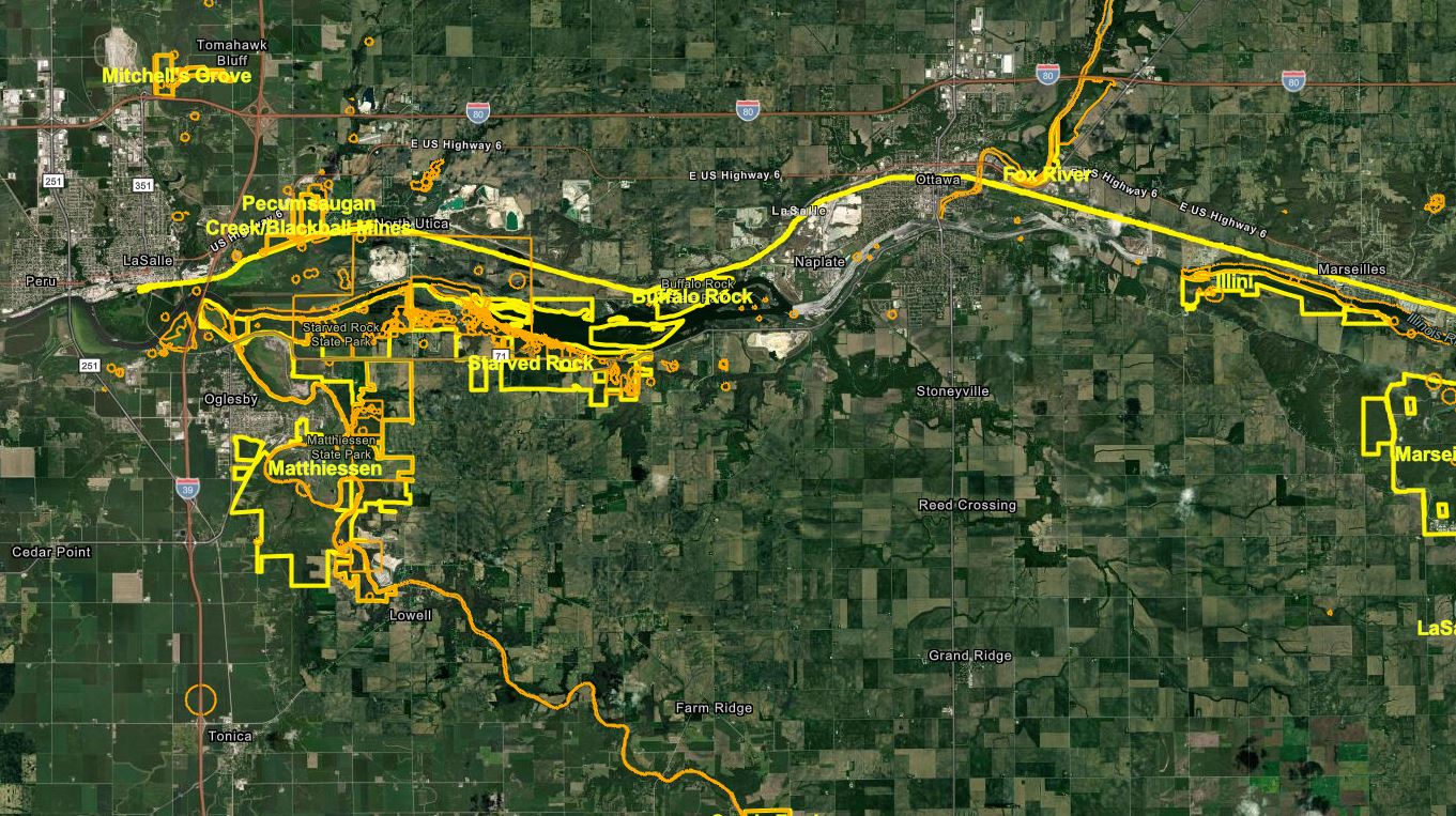
The Illinois Department of Natural Resources offers another online mapping tool for pesticide applicators. The IDNR Chemical Drift Awareness map shows the location of natural areas in Illinois, threatened and endangered species, and other sensitive areas. Like DriftWatch, this tool can help pesticide applicators make better decisions about where they are spraying to prevent drift to non-target sites. The map below shows what the IDNR map looks like for the area around Starved Rock in LaSalle County. Natural areas, nature preserves, and other sensitive resources are clearly marked on the map. Applicators, growers, and beekeepers are encouraged to use these mapping tools to help mitigate some of the problems of drift before they happen.
For more information about pesticide drift or to report a pesticide drift problem the following resources are available:
- University of Illinois Extension pesticide drift guide: go.illinois.edu/drift
- To make a drift complaint: agr.illinois.gov/pesticides.html
- Environmental Protection Agency: www.epa.gov/reducing-pesticide-drift
- National Pesticide Information Center: npic.orst.edu/
About the author
Emily Hansen is a Commercial Agriculture Educator with University of Illinois Extension, serving Bureau, LaSalle, Marshall, and Putnam counties. Emily provides research-based educational programs that empower growers to make sustainable choices on their farms.