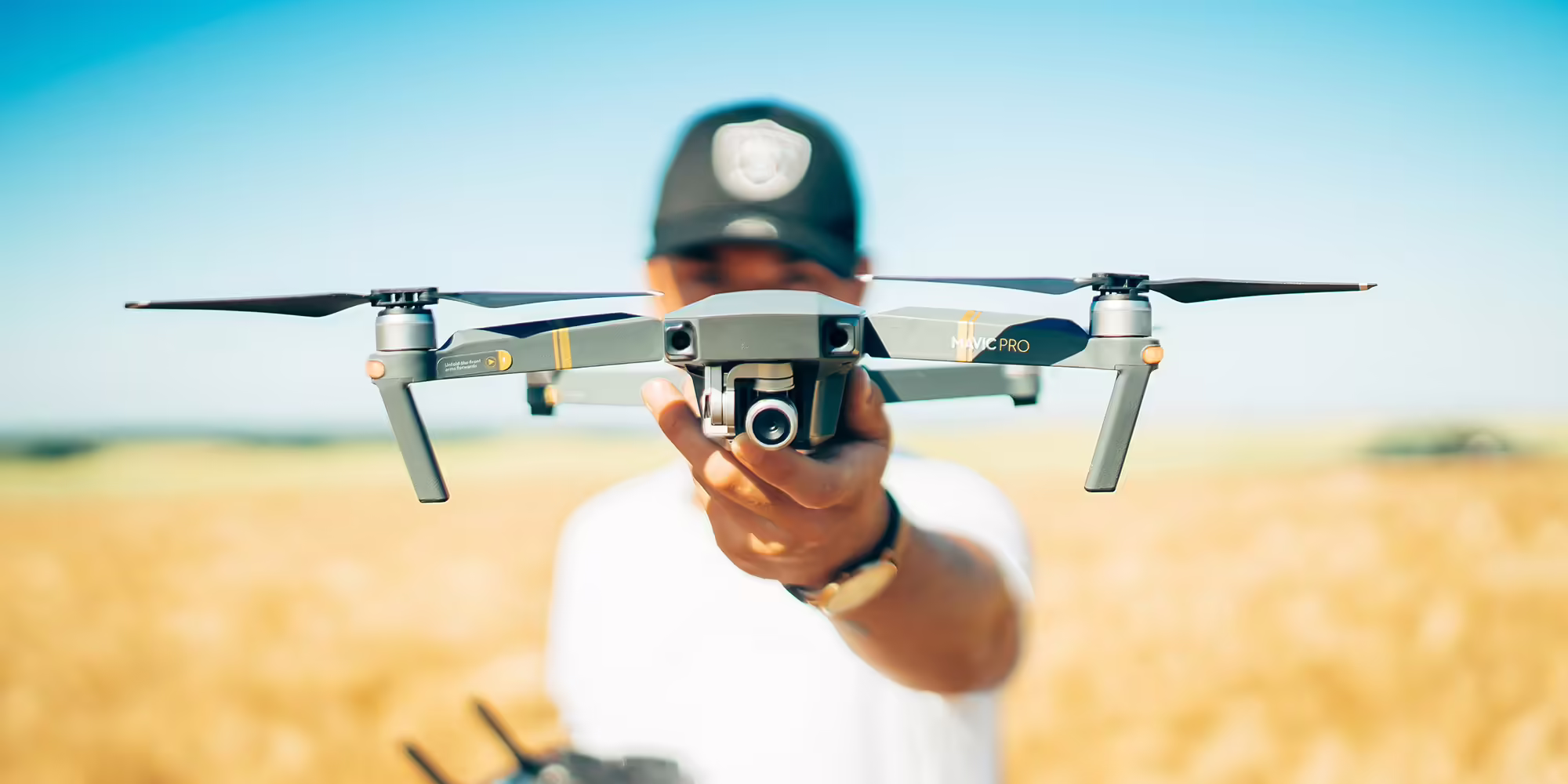
Using Your Farm Drone: Preparing to field scout with your farm drone
Farm drones can be valuable in helping farmers keep an eye on their crops through the growing season. The farmer can carry out tasks efficiently and...
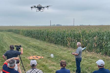
Explore key benefits, challenges of using agricultural drones at Illinois Extension field day
URBANA, Ill. — Technology continues to advance and modernize today’s farming practices. Drone use in farming has gained steady traction and interest, particularly in the application of agricultural inputs such as pesticides, herbicides, and fertilizers.Attendees can learn more at a field-...
Ready, Set, Fly into the Future! Beyond Ready to Fly!
PRINCETON, Ill.- The new 4-H Drone Clubs in Bureau, LaSalle, and Marshall-Putnam Counties are taking flight! Thanks to a generous grant from Compeer Financial, our 4-H team was able to purchase three drone kits and launch an exciting learning adventure for more than 25 youth...
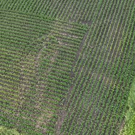
Using your farm drone to conduct field stand counts for corn and soybeans
HAVANA, Ill. - Competition for farmland is fierce. Many other farmers may want to work the same land you do, whether renting or buying. Farming is a highly competitive business. Being efficient in business is essential to successful farm operations. Prioritizing management activities that will...
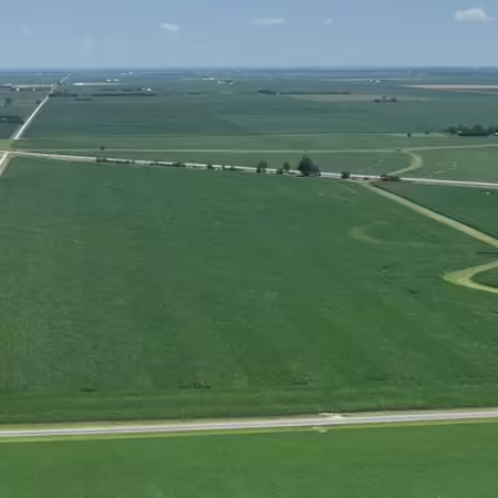
Choosing a drone mapping platform for checking farm fields
HAVANA, Ill. - Farmers can map farm fields and check crop conditions with a farm drone. Mapping platforms are highly detailed and can record conditions throughout the growing season, which can be very useful in comparing years of growing conditions of the same field. A farmer can choose either a...