URBANA, Ill. – Henderson County and Hancock County residents have not forgotten the "big flood." The 2008 flood caused substantial damage across Illinois and the Midwest. Henderson, Hancock, and 23 other Illinois counties were declared federal disaster areas by the Federal Emergency Management Agency, with Illinois residents receiving more than $15 million in aid.
A hazard mitigation plan is key to breaking the cycle of disaster, damage, and reconstruction and may reduce loss of life and property by minimizing the impact of disasters. FEMA often requires a plan for counties applying for many types of disaster assistance.
University of Illinois Extension experts collaborate with county officials, first responders, schools, government agencies, businesses, and residents to create these plans.
“The idea is to reduce financial and human losses before disasters, such as floods, tornados, and storms,” says Carrie McKillip, Extension community development educator for Henderson, Knox, McDonough and Warren counties. "It takes a village to build one."
McKillip worked with officials to facilitate the Henderson and Hancock counties mitigation plans. Participatory public meetings are held over several months during the creation of the plan.
“Public input is crucial,” says McKillip. “We want as many stakeholders as possible involved. That’s why we hold multiple public meetings and conduct focus groups to gather input."
The public also reviews the final plan for approval. The review process has collateral benefits. As community members review the mitigation plan, they may identify duplicated services, such as education programs to similar audiences, and can adjust local offerings to reduce duplicated efforts, McKillip says.
Community members provide input on cost-effective strategies that are simple, yet life-saving, McKillip says. For example, during a Henderson County focus group, a state police officer said, ‘"I just want a sign on a road that says, 'Watch out for high water.'"
The implementation of that simple suggestion cost $150, yet may save several lives, McKillip says.
The 2008 Flood
Sixteen lives were lost during the floods of 2008. Record Midwest rainfall over a three-month period, coupled with multiple levee breaches on the Mississippi River, resulted in disaster. In Henderson County, U.S. Highway 34 between Iowa and Illinois closed, upending lives in both states for weeks. The small village of Gulfport, which relies on the road to access nearby Burlington, Iowa, for groceries and other services, found itself particularly hard hit.
Cindy Brown lived through the experience and now serves as Henderson County’s emergency management and zoning officer. Brown says most residents faced with challenges with grace.
“About half our residents work in Burlington or other flooded areas. To get to Burlington, residents had to drive south to St. Louis or north to Davenport, Iowa."
Since 2013, Brown has helped update Henderson's hazard mitigation plan. New plans are built on the lessons learned in 2008.
Hazard Mitigation Plan Details
Federal government funds were used by local jurisdictions, primarily Henderson County, to “buy out” flooded properties. These parcels are owned and maintained by the local governments and cannot have permanent structures built on them ever again. In many instances, the land became green space infrastructure, adding to the beauty of the area while assisting with water absorption.
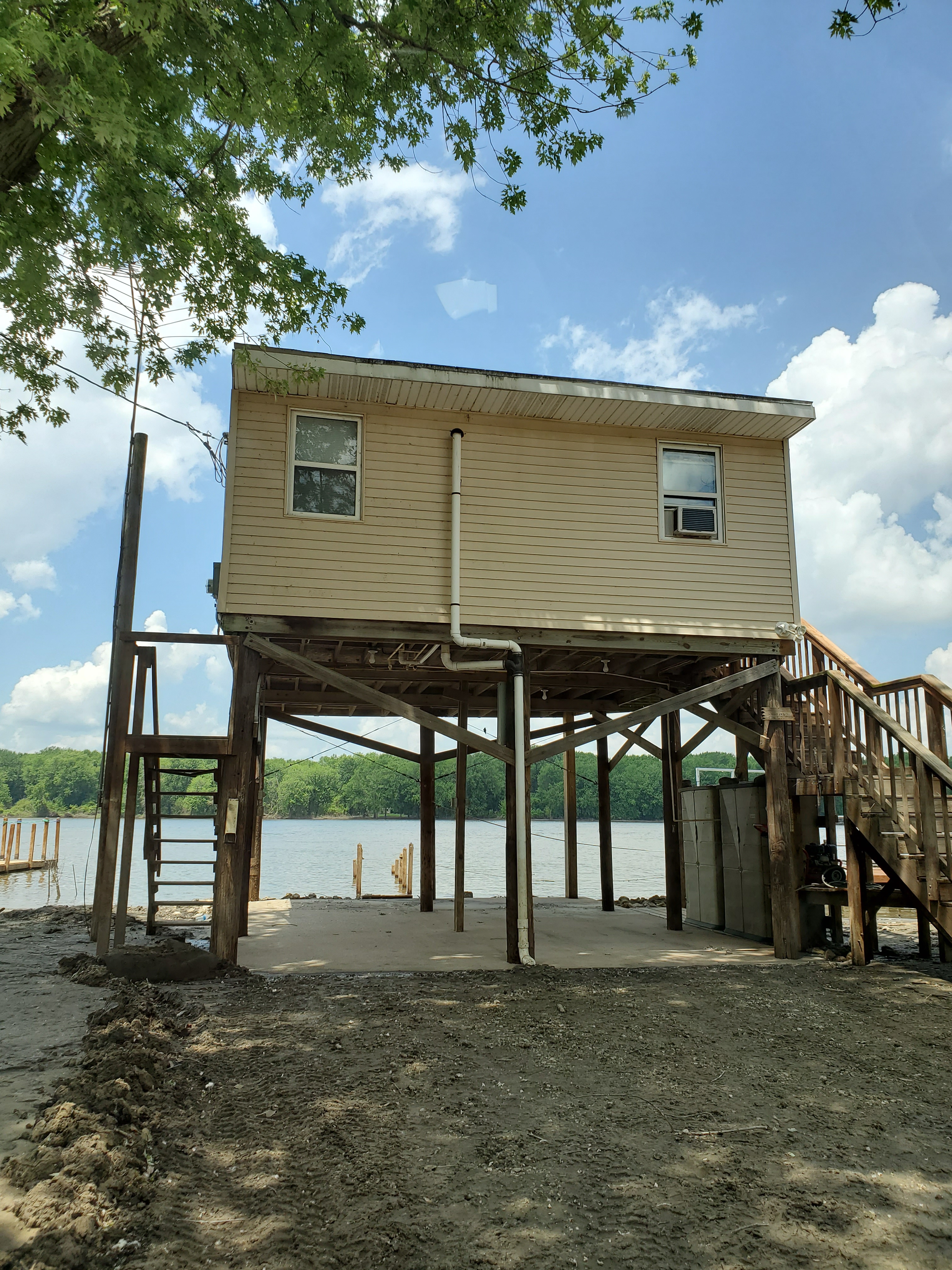
Building codes have been modified, requiring new structures built in flood-prone areas to be elevated above a new county-required minimum elevation.
In addition, new plans outline a process if the Mississippi rises again. For example, at a water level of 18 feet, Henderson County’s Drainage District begins road closures. At 19 feet, county officials sign a disaster proclamation and declare an emergency. Advisories go out to school officials, and measures may be taken to protect levees, depending on projected crests. At 22 feet, the river’s forecasted crest determines whether to begin sandbagging. At that level, only residents of Gulfport and Stevenson Lake will be allowed into the communities.
The plan proved to be useful, and Brown says she can see how it was reflected in the community’s action after a Henderson County flood in 2019.
“During the 2019 flood, the village of Oquawka got its high school involved in sandbagging. Because of the hazard mitigation plan, we had a logistical plan that laid out how to organize volunteers, get everyone signed in, and get the work done," Brown says. "We are grateful for all Extension professionals’ work to help the community respond to these emergencies.”
SOURCE: Carrie McKillip, Community and Economic Development Educator, University of Illinois Extension
WRITER: Linda Hughes-Kirchubel, Communications Coordinator, University of Illinois Extension
ABOUT EXTENSION: Illinois Extension leads public outreach for University of Illinois by translating research into action plans that allow Illinois families, businesses, and community leaders to solve problems, make informed decisions, and adapt to changes and opportunities.
