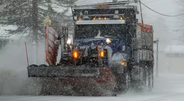
Winter is here, and probably by the time you read this, we will have had one or more significant snow events. When it gets really cold, you may hear someone say “it’s too cold to snow.” But is that true?
Air temperature, water vapor and humidity work together
The first thing to know is that the maximum amount of water vapor, which is the gas form of water, the air can hold is completely dependent on the air’s temperature. The colder the air is, the less water vapor the air can hold.
This means two things. First, cold air will be dryer than warm air simply because it can’t hold as much water vapor. Secondly, because cold air can’t hold as much water vapor as warm air, the cold air will be close to holding its maximum capacity of water vapor even when the actual amount of water vapor is small. In other words, cold air can often have a high relative humidity.
As an example, let’s say the air is at 30 degrees Fahrenheit, and it’s at 50% relative humidity. If we keep the amount of water vapor the same but lower the temperature down to 20 degrees, the relative humidity will go up because colder air just can’t hold as much water vapor. If the relative humidity gets to 100%, precipitation is likely.
Very cold air can still have snow
So, if you see where I’m going with this, even very cold air can still have snow come out of it. The snowflakes will be very small, but they can still occur.
Think about the North Pole. The area around the pole is covered in about 8 to 10 feet of ice and has 15 to 20 inches of snow on top of it. It is believed that the North Pole gets about 3 to 4 inches of snow per year. Not much, but it still occurs.
When do we get huge snowflakes?
For me, I enjoy late winter snow. That time of year, the temperatures are typically at or just above freezing at ground level. Under those conditions, snowflakes may have their edges melt slightly during their descent. This allows one snowflake to attach to others, becoming bigger and bigger until there are these huge snowflakes hitting the ground. And the flakes can be larger because there is more water vapor to work with.
Snowfall amounts dropped steeply with less year-to-year variability for much of the 1980s and into the early 2000s, according to the Illinois State Climatologist office. However, snowfall amounts in the last six winters have been more variable, with the winter of 2014 being about as snowy as the late 1970s. The snowiest winter on record for Illinois was 1979, with 44.5 inches.
Snow is not the same as sleet
Snow forms ice crystals directly from water vapor. It doesn’t go through the liquid phase, which is what occurs with sleet. Sleet starts as snow, which melts on the way down if it goes through a warm air layer, then freezes when reaching cold air before landing. Because of the way the water molecule is put together, snow forms as symmetrical six-sided crystals that combine to form snowflakes. Very slight changes in humidity and temperature at the microscopic scale make each snowflake form unique shapes.
About the Blog
The All About Weather blog by Duane Friend explores the environment, climate, and weather topics for Illinois. Get in-depth information about things your weather app doesn't cover, from summer droughts to shifting weather patterns. Never miss a new post!